




0 Lamartine Idaho Springs, CO 80452
8.41 Acres Lot
UPDATED:
Key Details
Property Type Vacant Land
Sub Type Unimproved Land
Listing Status Active
Purchase Type For Sale
Subdivision Lamartine
MLS Listing ID IRE3736576
HOA Y/N No
Annual Tax Amount $1,203
Tax Year 2025
Lot Size 8.410 Acres
Acres 8.41
Property Sub-Type Unimproved Land
Source ires
Property Description
This exceptional offering includes two contiguous patented mining claims, the Argyros & White Money Claims, creating a spacious & remarkably private mountain retreat. The beautiful gradually sloping terrain is easy to explore while providing excellent separation from neighboring properties.
Surrounded by Clear Creek County land & minutes from the Arapaho National Forest, you'll enjoy direct access to miles of trails leading into thousands of acres of public land. Hunt, camp, hike, explore by Jeep or ATV, photograph wildlife, or simply escape into the Colorado mountains.
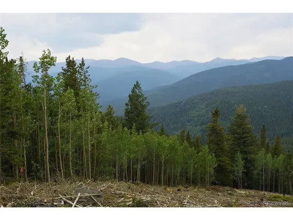
Breathtaking mountain views could be expanded with selective tree thinning. A historic mine, believed to have already been professionally capped, adds another unique piece of Colorado history.
Just outside historic Idaho Springs, you'll have easy access to restaurants, shopping, Clear Creek rafting, the Phoenix Gold Mine, St. Mary's Glacier, Guanella Pass, fishing, skiing, & year round recreation.
Access is via Stanley Rd, Trail Creek Rd, Spring Gulch Rd, & Lamartine Rd. A 4WD vehicle with decent ground clearance is recommended for the final section.
GPS Coordinates: 39.72659, -105.61148
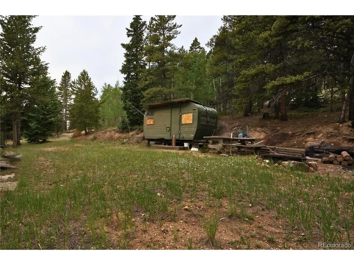
Properties offering two contiguous patented mining claims, established camp improvements, abundant wildlife, exceptional privacy, & direct access to nearby public land are incredibly rare.
Seller prefers to sell both mining claims together but may consider selling separately with an acceptable offer.
Location
State CO
County Clear Creek
Community Lamartine
Area Suburban Mountains
Zoning M-1
Direction The best way to get to the property is to take Exit 239 (Stanley Road) from I 70 and follow Stanley Road for roughly 2.2 miles to Trail Creek Road. Turn left onto Trail Creek Road and continue for approximately 3.5 miles. Go past the Phoenix Mine and turn left onto Spring Gulch Road. Follow Spring Gulch Road for roughly 1.7 miles until you reach Lamartine Road, then turn right. Continue on Lamartine Road for approximately 0.8 miles until you reach the Forest Service Road/Lamartine Road turnoff, then turn left. This is where you are going to need a higher clearance vehicle. Continue on that road for roughly 0.8 miles until you see my sign and the blue property boundary tape. There is a cabin just past this parcel that has a easement road that runs through it. If you turn onto that driveway you will see a chain tied to two trees. If you park right in front of that chain and follow the trail up it will take you right to the camp site. Property coordinates: 39.72659, -105.61148.
Exterior
Parking Features None
View Y/N Yes
View Mountain(s)
Garage No
Building
Lot Description Sloping Lot, Abuts Public Open Space
Sewer None
Water Well, None
New Construction false
Schools
High Schools Clear Creek
School District Clear Creek
Others
Acceptable Financing Cash
Listing Terms Cash
Special Listing Condition Private Owner
Virtual Tour https://www.zillow.com/view-3d-home/c8162438-2717-4b81-8d78-4778ce3357c5?setAttribution=mls&wl=true